River Level Chart
Know Before You Go and Understanding FreeFlow Rivers
Many have asked what we use to gauge the river levels. We want to share how things correlate between levels and the USGS gauge in Rosman, NC.
**Disclaimer** This has been built into our risk management for over 30 years. The safety of our customers is our priority, so we follow a strict river level cutoff.
Plan ahead and be prepared, know the skill level of everyone in your group, share your trip plan, and always watch the weather forecast!

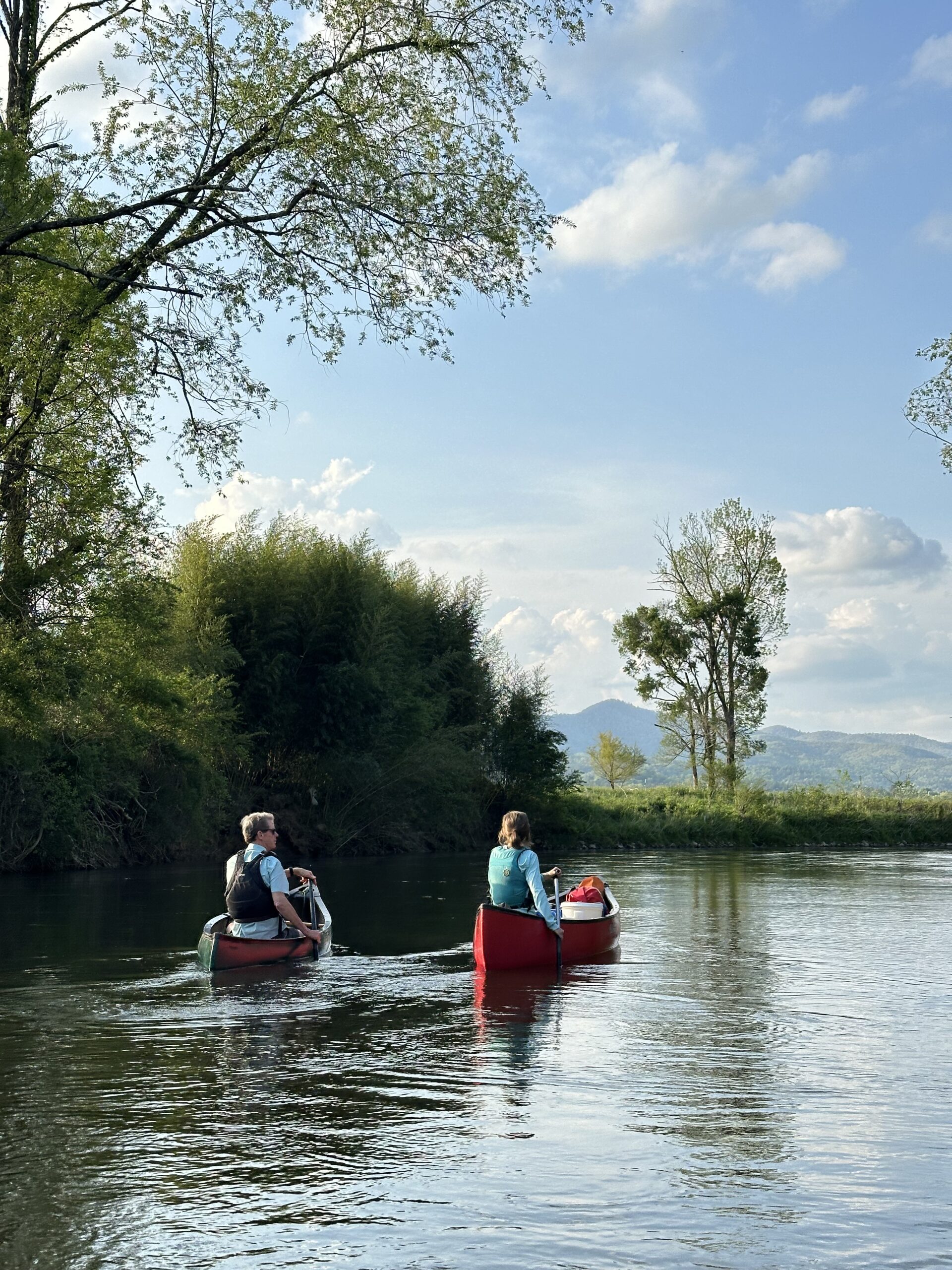
Understanding Water Levels on the Upper French Broad River
Headwaters Outfitters | Tubing & Paddling Adventures
We operate on a rain-fed mountain river, which means water levels can fluctuate quickly and vary daily. It’s important to check current conditions the day before and the morning of your reservation.
Water flow is measured by Feet for Height and Cubic Feet per Second (CFS), but each river responds differently to changes in flow. Based on over 30 years of experience on the Upper French Broad, we’ve developed the guidelines below to help you interpret river conditions and plan your trip safely.
What You Should Know:
✅ Check the current Guage Height and CFS rate for the Upper French Broad
✅ Use our Water Level Guide to understand the day’s conditions
✅ Make sure all individuals in your group are capable and prepared for the river conditions.
Plan your outing based on the least experienced or comfortable member to ensure a safe and enjoyable trip for everyone.
✅ Review the Water Level Descriptions below to better understand what to expect
Keep in mind: An individual’s current health, fitness level, and comfort in moving water also influence safety and how enjoyable your river experience will be.
📲 Bookmark the real-time gauge for the Upper French Broad at Rosman
NOTE: This guide applies only to the Upper French Broad River in Transylvania County.
Upper French Broad River – Water Level & Gauge Guide
Headwaters Outfitters | Upper French Broad River
Water conditions on the Upper French Broad River are measured in Cubic Feet per Second (CFS) and Gauge Height in Feet at the Rosman USGS station. Use this guide to determine if the flows are right for your group. Remember at 3ft. on the gauge, Headwaters stops all river trips and you will be notified if you trip is subject to cancellation.
🚦 Water Level Conditions
| CFS Range | Gauge Height (ft) | Level | Conditions & Guidelines |
|---|---|---|---|
| 100-150 | 1.5 – 1.6 ft | Low | Less current, slower flows with narrow and shallow areas. |
| 150-300 | 1.6 – 2.7 ft | Average | Ideal tubing & paddling. Great for most ages (4+ recommended). |
| 300 – 400 | 2.7 – 3.0 ft | Above Average | Faster flows and stronger currents. Recommneded for stronger swimmers that can self rescue. |
| >3.0 ft | High |
High volume flows, deep and wide conditions. Advanced swimming and paddling skills recommended. Headwaters operations are closed based on Gauge Height. No Trips 3ft or higher. |
|
📲 Live River Conditions
Scan the QR code or visit the USGS Gauge at Rosman for real-time water flow and gauge height.
📞 Questions? Call our team—we’re here to help you plan a safe and memorable river day!