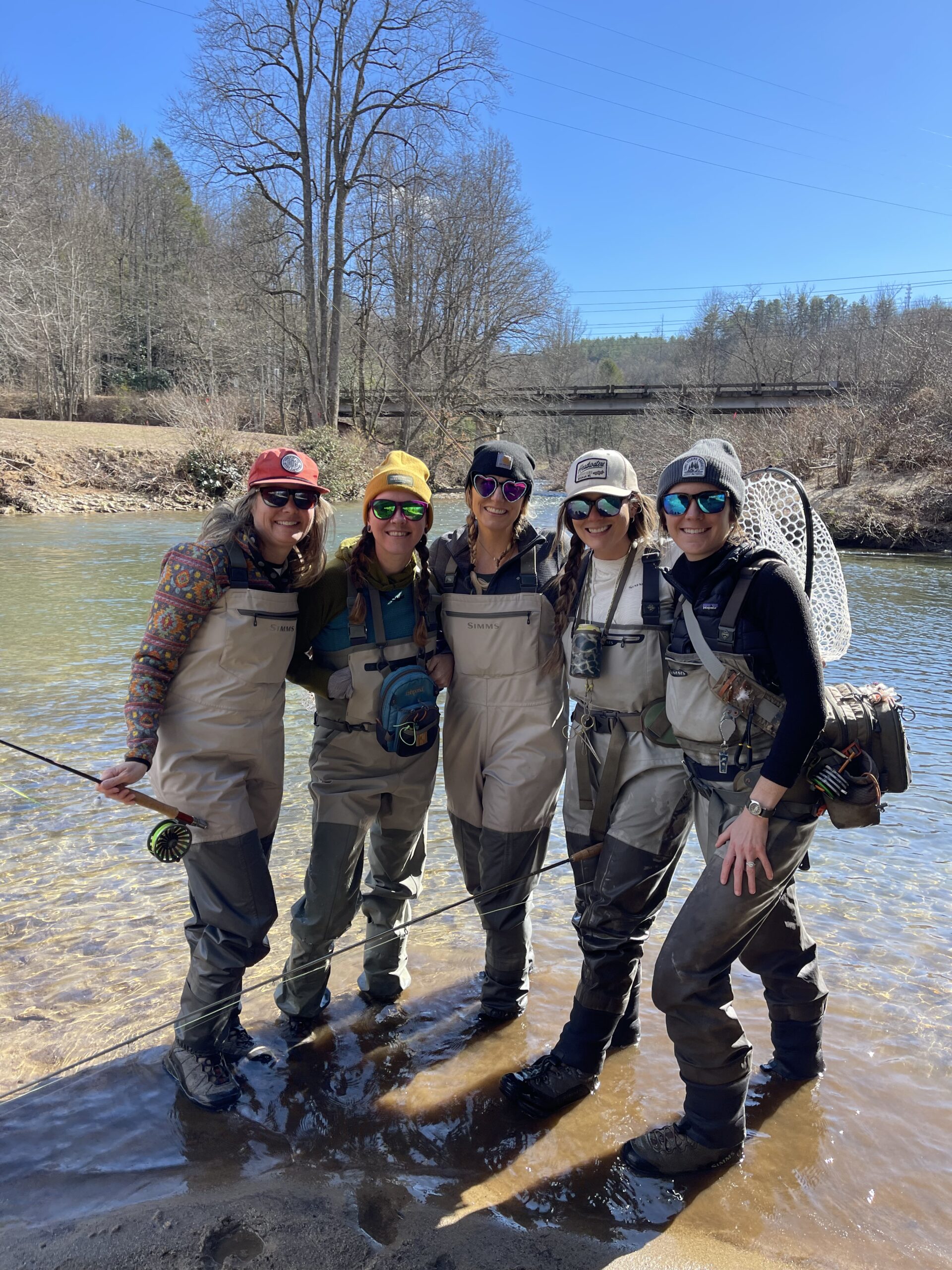
Local Rivers and Streams
Take a Quick Look at Our Favorites
Please always practice the seven principles of Leave No Trace, be ethical in your fishing practices, and respect our public lands.
Local Info:
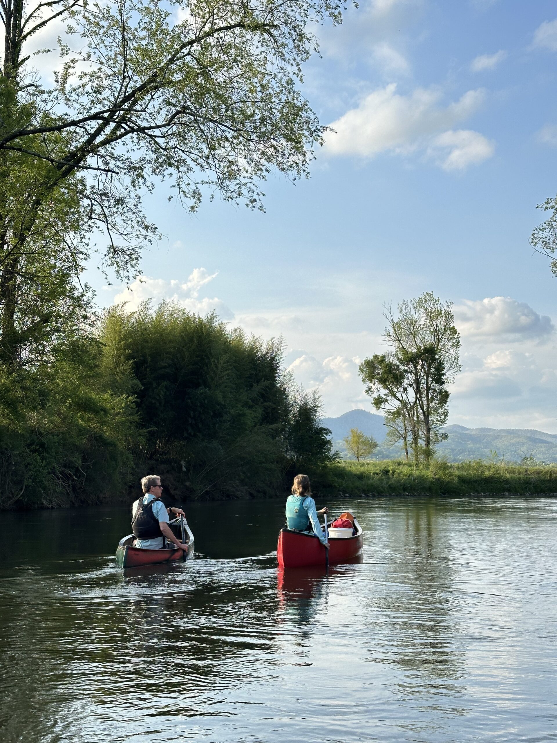
The mountains of western North Carolina are home to roughly 4,000 miles of coldwater streams, more miles of trout-supporting waters than any other southeastern state. Our home county, Transylvania, boasts nearly 500 miles of coldwater creeks, streams and rivers, which means there is wonderful trout fishing almost everywhere you look, ranging from tiny brook trout streams to raucous rivers plunging through deep gorges filled with rainbows and browns. Here is a sampling of some of the waters our fly fishing guides recommend for your trip
Have Questions on Rules and Regulations?
Visit www.ncwildlife.org for information on seasons, regulations, maps and current stream closures/issues. Purchase your license online…it’s easy!
Davidson River
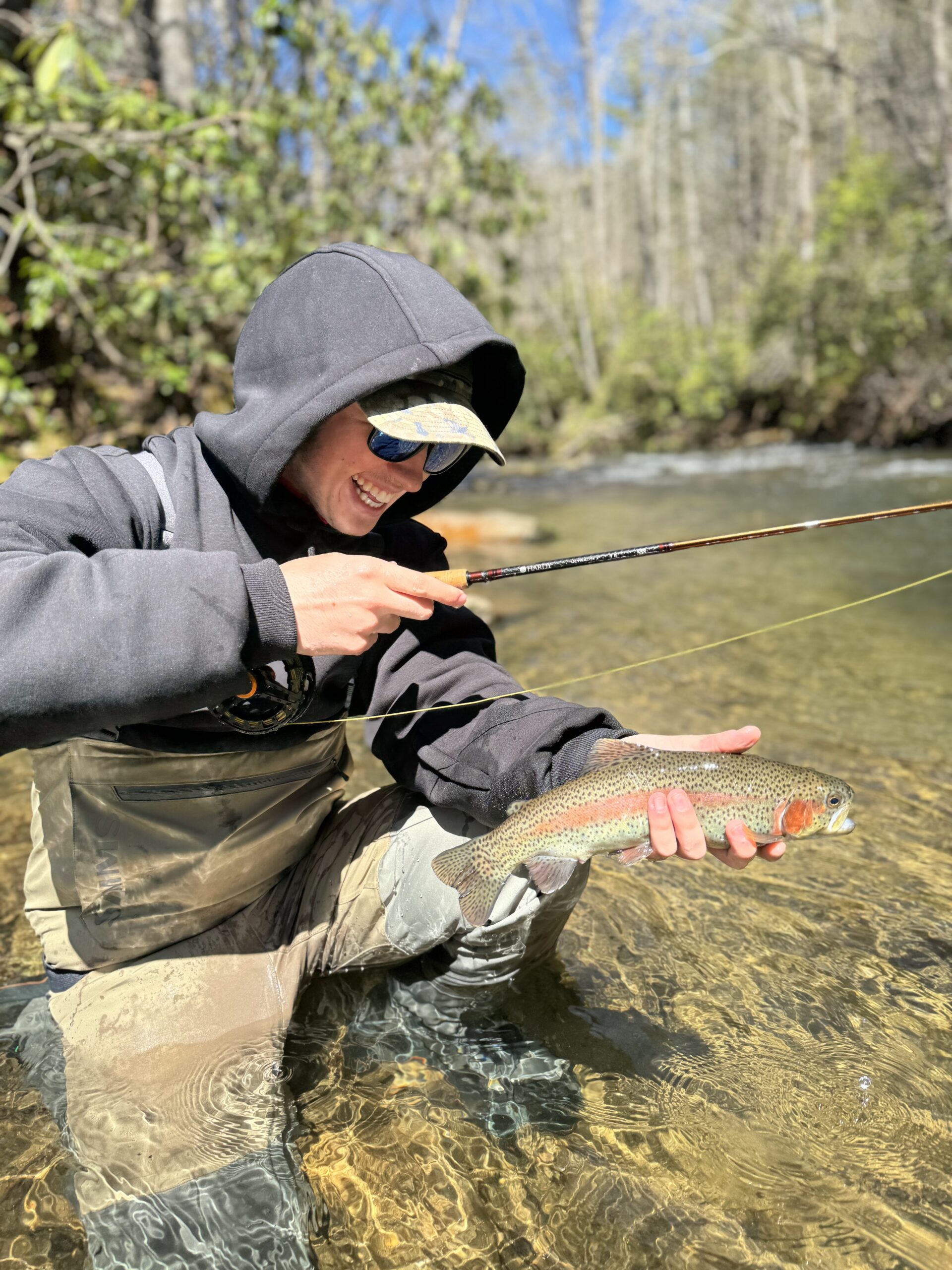
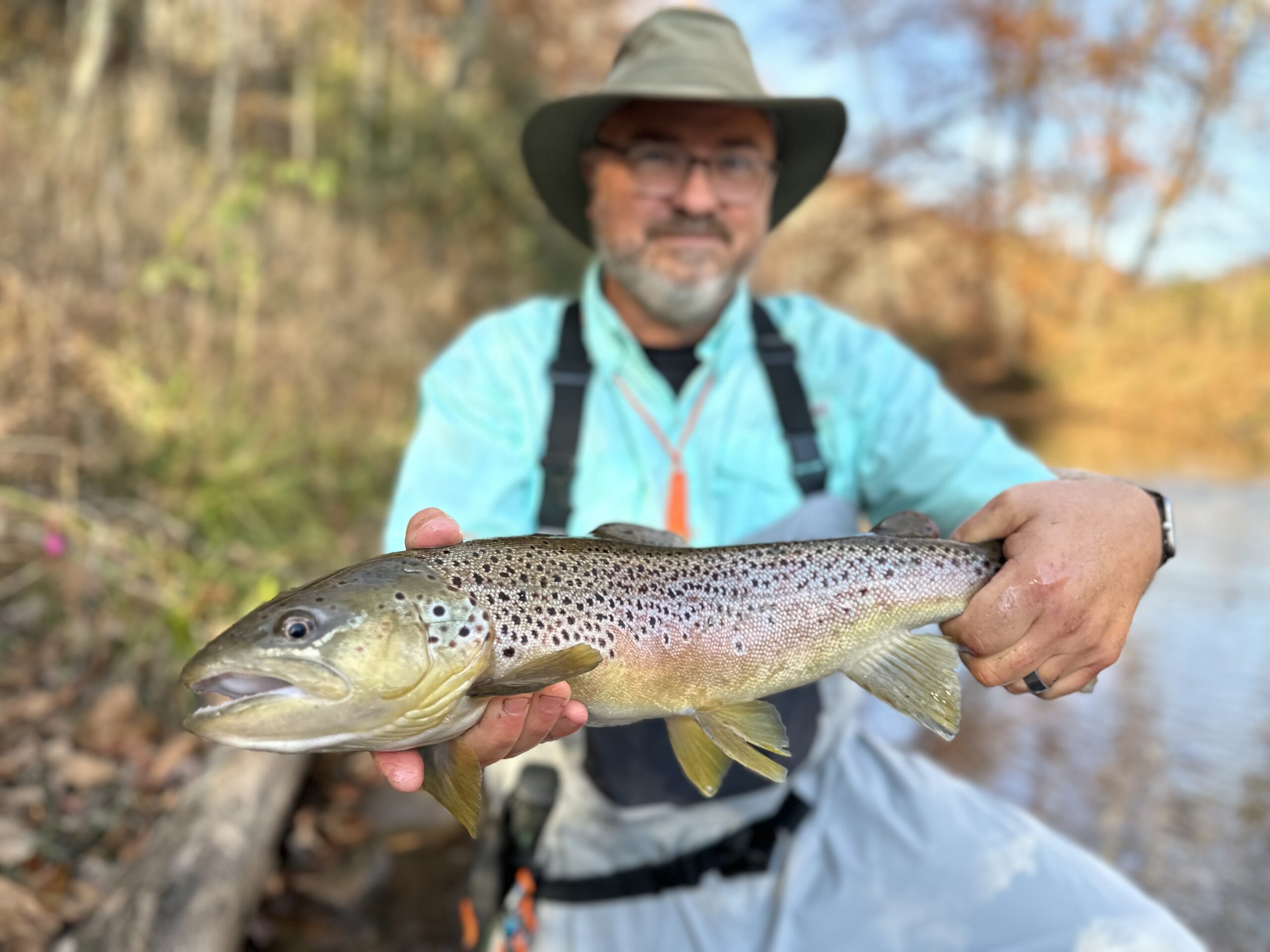
Consistently named as one of Trout Unlimited’s “Top 100 Trout Streams in America,” the Davidson is a very productive freestone river that supports many trophy-class fish over 20 inches. About 14 miles of the river, from its headwaters to Avery Creek, are managed under catch-and-release, fly-fishing only regulations. The lower mile is hatchery supported. The Davidson’s upper reaches, including such major tributaries as Cove Creek and Daniel Ridge Creek, are small and tight, with wild rainbows averaging 7 inches. But the river widens and deepens as it gets below the Pisgah Fish Hatchery, creating long, smooth runs and glassy pools, interspersed with some pocket water. This is where the bruisers lurk, but they are extremely hard to catch due to heavy fishing pressure and gin-clear water. Click here to read an article on fishing the Big D.

East Fork of the French Broad
Once the sole domain of savvy locals, this roadside stream near Rosman has become one of the region’s most popular Delayed Harvest waters. The state stocks along 4.75 miles of East Fork Road between Glady Fork Road and the main stem of the French Broad. Catch-and-release regulations apply from October to May, and only single-hook artificial lures are allowed. All of the land along the East Fork is private, so please respect posted signs. There are three cascades along the East Fork, dumping into frothy holes brimming with stocked rainbow, brown and brook trout. These fish see a lot of flies, however, and can be snooty at times. If downsizing your tippet and fly sizes don’t work, walk up the road and try a different spot.

West Fork of the French Broad
The West Fork is a sleeper stream that produces some of our biggest browns each year, yet it is overshadowed by its more heavily stocked cousin to the east. The state stocks only 1,500 trout upstream of the Silversteen Bridge, located on State Road 1312, which parallels the river for several miles. Access is difficult to the Forest Service portion of the river, which is located in a narrow, mostly trail-less gorge between Flat Creek and the bridge. Effluent from several trout farms in the West Fork’s headwaters make this a fecund stream with lots of bugs; sections of the river are known for their profuse, if unpredictable, hatches of burrowing mayflies. Hatchery supported regulations apply, which means the West Fork is closed to fishing in March.

North Fork of French Broad
Our home river, the North Fork is stream well suited for fly fishing. Like its sister to the west, the North Fork runs through a deep, rocky gorge, plunging over several major waterfalls on its way to the mainstem of the French Broad near our shop. Several unmarked trails lead into the gorge from Hwy. 215, but they are not for the faint of heart. Likewise, wading can be sketchy at higher water levels. The river’s fast runs and dark holes are home to browns and rainbows averaging 10 inches, but many quality fish are taken by bait fishermen and skilled fly anglers each year. Heavy stonefly nymphs and streamers are effective year-round. Above Macedonia Church Road, the river bisects private land in Balsam Grove and is heavily posted. The North Fork is regulated as Wild Natural Bait, allowing the harvest of four fish per day.

West Fork of the Pigeon River
Located just across the divide from our fly shop, the West Fork is a sublime little trout stream, with crystalline pools so clear you can count the cobblestones six feet down. Beginning high along the Blue Ridge Parkway, the river follows Hwy. 215 on its steep descent towards Lake Logan. The uppermost portion of the creek is steep, tight and designated as Wild Trout water, allowing single hook, artificial lures only. Between Queen Creek and Lake Logan, the West Fork is designated as Delayed Harvest, which is catch-and-release from October through May and full of stocked trout. Either stretch is fine dry-and-dropper water, but please mind private property downstream of Sunburst Campground.

North Mills River
Located in northwestern Henderson County, the North Mills River coalesces below Hendersonville Reservoir, a small drinking water impoundment formed by the confluence of Fletcher and Big Creeks. Although technically a tailrace, the spillover dam does nothing to enhance the fertility or temperature stability of this large creek. However, the stocking of 11,000 trout between October and June along a 4-mile stretch of the North Mills makes it a stream worth checking out. Fishing pressure is heaviest in the North Mills Recreation Area campground, but anglers who hike in from the Trace Ridge Trailhead can find solitude and unpressured fish on weekdays. Dries, nymphs, streamers, they all work here.

South Mills River
Formed by numerous feeder creeks high along the Blue Ridge Parkway, the South Mills becomes fishable for fly anglers by the time it enters the Cradle of Forestry Historic Area off Hwy. 276. There, this candidate for federal Wild & Scenic River designation is pocked with beaver ponds full of small, wild brown trout. But below the old gauging station on FS 476, the river widens as it drops over several beautiful cascades, including scenic High Falls. If backcountry fishing for spooky wild browns and rainbows is your idea of nirvana, the South Mills is heaven on earth. Access to the interior of the roadless area is via the 12-mile long South Mills River Trail. The stream is classified Wild Trout and has no closed season.

Avery Creek
Avery Creek is a small tributary of the Davidson near Brevard that is a critical spawning ground for rainbows and browns. It is classified as a Wild Trout stream, which has no closed season and allows a limited amount of harvest (though we recommend you practice catch-and-release, due to heavy fishing pressure along the stream.) Access is via the Pisgah Horse Stables road and the 3.2-mile Avery Creek Trail. Avery fishes best in the spring and summer, especially when the Davidson is high and stained from rains. Resident fish are generally 7 to 9 inches long, but wild and colorful. Fish a short 3- or 4-weight rod, bring some attractor dries and explore parts of the stream off the beaten path.